Project Description
This Bachelor Project explores how pedestrian navigation can encourage sustainable mobility by shifting the focus from efficiency to exploration. While most navigation systems optimize for the shortest or fastest route, this project questions how people actually perceive distance, orientation, and motivation when moving through urban environments on foot.
The concept proposes a navigation system that supports self-directed walking by offering multiple contextual routes and orientation cues, allowing users to choose how they move through the city rather than simply following instructions. Instead of abstract distances and constant map checking, the system emphasizes spatial understanding, landmarks, and time-based reachability to make walking more engaging and intuitive. Three core features define the concept:
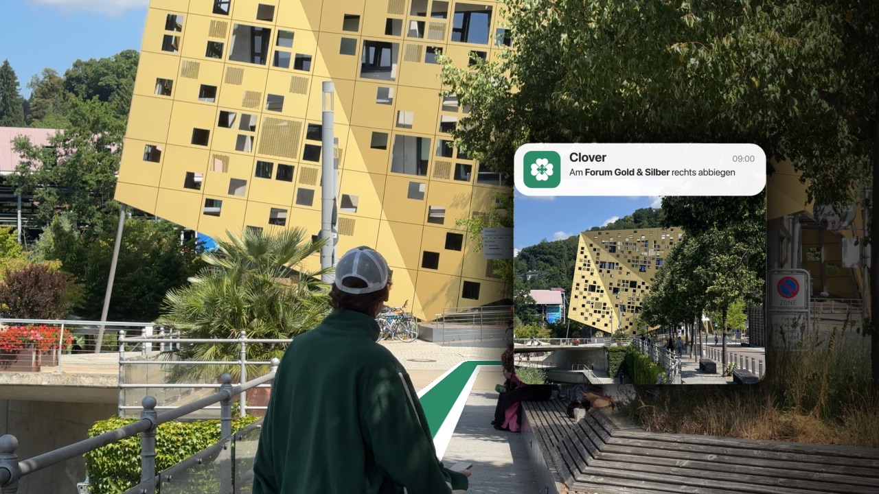
- Landmark-based navigation, using images of distinctive real-world locations to support orientation and reduce cognitive load.
- Alternative route options, such as nature-oriented or busy routes, giving users contextual choice rather than a single optimized path.
- Dynamic isochrone visualization, showing areas reachable within a selected time frame along the route, enabling spontaneous detours and exploration.
Together, these features aim to promote walking as an enjoyable, flexible, and meaningful mode of urban mobility.
Role and Scope
This project was developed over one semester as a collaborative effort with one partner, with shared responsibility across research, ideation, and concept development.
I took additional ownership of building functional prototypes, integrating geospatial data using Mapbox, and implementing interaction concepts for mobile platforms through various prototyping tools and selective Xcode testing to explore interaction dynamics. I was also responsible for producing the final project video and assembling the project documentation.
Research and Methods
The project followed a user-centered and research-driven design process. I began with literature and online research on pedestrian navigation, spatial cognition, and sustainable mobility, complemented by a comparison and competitive analysis of existing navigation solutions.
To gain contextual insights, I conducted shadowing sessions and user interviews, observing how pedestrians navigate, orient themselves, and make decisions while walking. An online survey and expert interviews further informed the understanding of motivations, frustrations, and mental models related to urban walking.
The collected insights were synthesized into personas and use case maps, which guided iterative concept development, rapid sketching, and prototyping.
Download Full Documentation PDF